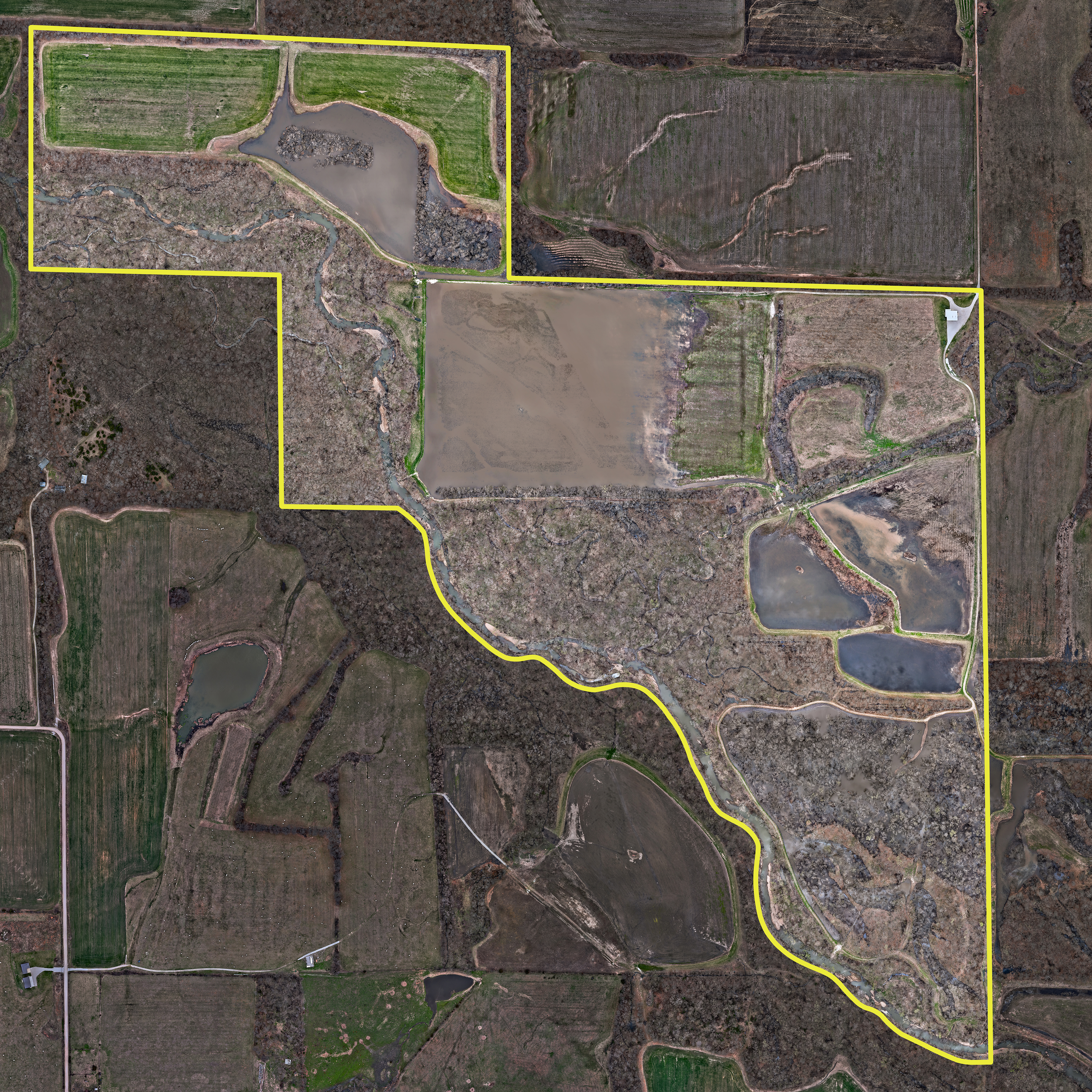
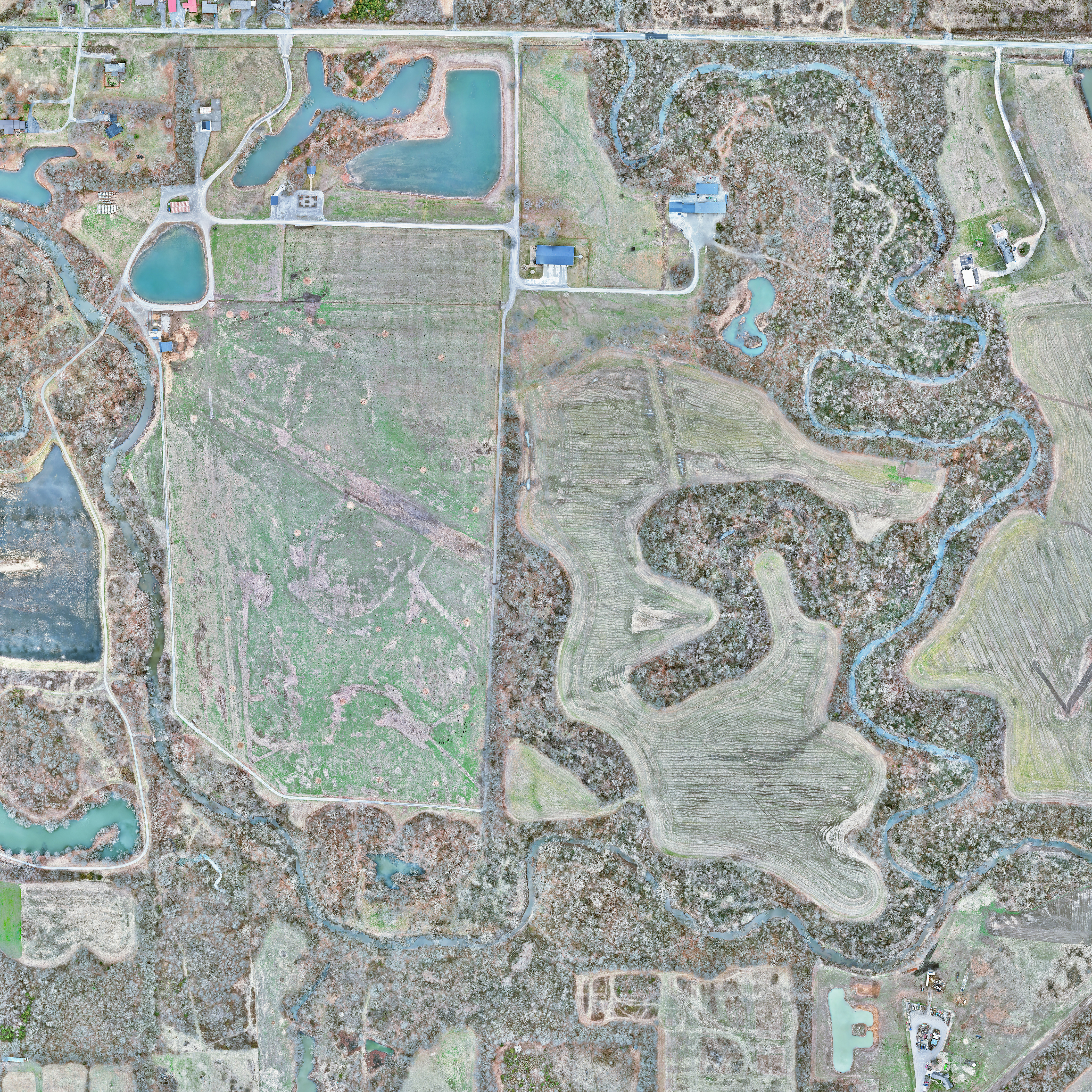
Custom Property Maps & High-Resolution Aerial Mapping
Transform your land into a high-definition masterpiece. Standard satellite imagery leaves your property blurry, outdated, and lacking detail. With our advanced aerial mapping services, we fly your acreage in a precise grid pattern, capturing thousands of high-resolution images to stitch together a custom property map that is up to 25x clearer than traditional satellite views. Whether you want to scout perfect hunting stand locations, map out land access points, or plan property roads, the possibilities are entirely custom to you. We don't just digitalize your land; we bring it to life with premium, durable physical prints. Including sleek frameless aluminum metal, traditional frames, or versatile Drytac repositionable wall graphics. See your land like never before with unmatched clarity and detail.
Why Choose Leaf-Off Drone Mapping?
Most standard satellite maps (like Google Earth or OnX) are updated every few years and are typically blurry when zooming in to see fine details. They use a standard Ground Sampling Distance (GSD) of 30 to 50 centimeters, meaning a single pixel covers an area the size of a truck tire. Our precision drone mapping eliminates the blur, flying at low altitudes to get down to an incredible 2cm GSD. By shrinking each pixel to the size of a postage stamp, our maps are up to 25 times clearer and more accurate than commercial apps. Instead of looking at outdated, blurry satellite feeds, you get a real-time, crystal-clear view of your land that lets you spot individual logs, trace hidden deer trails, and plan your property set up with absolute confidence.